Douglas Shire will be trialling laser technology this wet season to improve real-time monitoring of flash flooding and rapidly rising creeks.
The initiative aims to provide timely, accurate data that strengthens community preparedness, support emergency decision making and response.
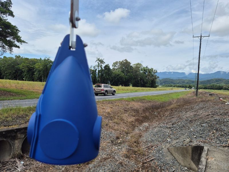
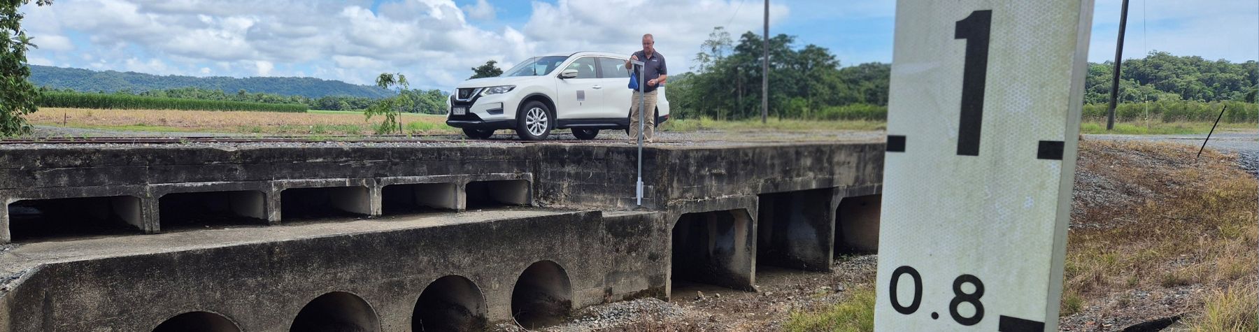
The Disaster Management Unit will install up to eight Light Detection and Ranging (LiDAR) flood sensors in strategic locations over the coming weeks.
These sensors measure water levels continuously, delivering early warnings that help authorities respond more effectively to changing conditions and assist in providing timely information to residents.
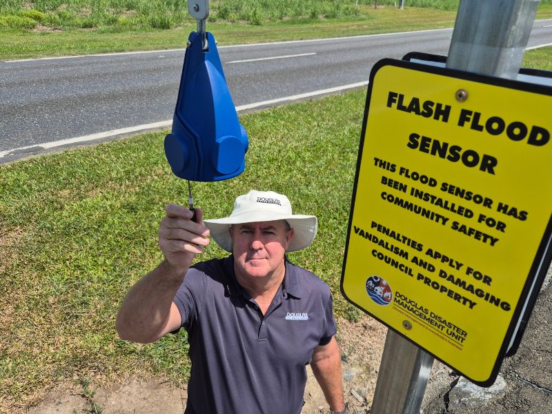
Douglas Shire Mayor Lisa Scomazzon said the technology would enhance Council’s ability to monitor conditions and manage road closures whilst supplying critical information to emergency services.
“The sensors will provide real-time data about rising (and falling) water levels, which is particularly useful at night when conditions are harder to assess,” Mayor Scomazzon said.
“This trial will help us understand how LiDAR can improve decision-making during severe weather events and reduce the risks associated with fast-moving water.”
This project is part of Council’s ongoing commitment to improving flood preparedness and building long-term resilience across the region.