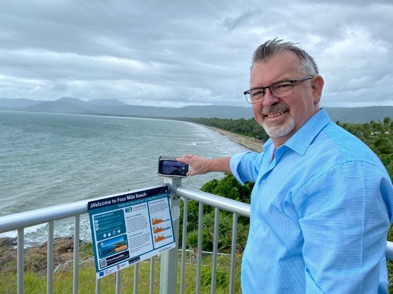
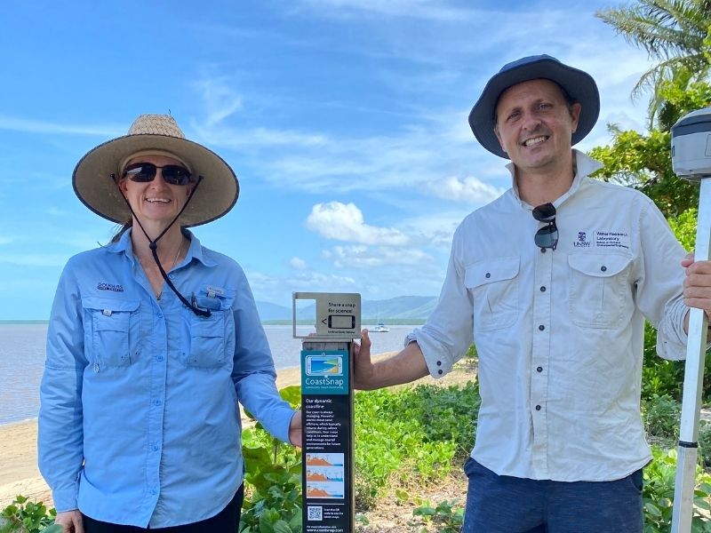
A COMMUNITY beach monitoring project will help scientists better understand and forecast how coastlines will change at five popular beaches in Douglas Shire.
CoastSnap encourages residents and visitors to participate by taking photos of precise locations and sharing the photo online.
Mobile phone cradles are now available at Four Mile, Cooya Beach, Newell Beach, Wonga Beach and Cow Bay.
Over time, the database of photos will record erosion and recovery cycles, helping Douglas Shire Council understand why some beaches are more dynamic or resilient than others.
University of NSW Senior Lecturer Dr Mitchell Harvey, who is a coastal erosion expert, visited the five beaches this week.
He said the program would help scientists manage coastlines around the world.
“CoastSnap is a global community beach monitoring project that turns your smartphone in your pocket into a powerful device to measure how our coastlines change over time,” he said.
“It uses the power of social media and all you need to do is put your smartphone in one of our cradles, take a photo and upload it to the cloud.”
“We have actually developed some really powerful algorithms to precisely track how the coastline is changing.”
Using a specialised technique known as photogrammetry, CoastSnap relies on repeat photos at the same location to track how the coast is changing over time due to processes such as storms, rising sea levels, human activities, and other factors. The images are pinpointed to ensure your photos have similar accuracy to professional coastal survey teams.
Douglas Shire Mayor Michael Kerr encouraged everyone to get involved to build a strong database of images.
“If you are walking along one of the beaches with the phone cradles, take a minute out of your day to take a photo for science and help your beach tell a story,” he said.
“The more photos we collect at a particular site, the more reliable our understanding of how that coastline is changing over time.”
“Monitoring these changes is important so that the impacts of coastal hazards can be avoided, mitigated or managed through adaptation planning.”
The development of a photo monitoring program delivers on the priority actions, as identified in Council’s Resilient Coast Strategic Plan 2019-2029, as part of the Coastal Hazard Adaptation Strategy.
Each photo monitoring point has instructional signage on how to use the phone cradle and photo uploading options. To participate and play a part in science is easy. You can download the free App CoastSnap and register to upload your images straight to the CoastSnap App or post your photo on social media using each location’s individual #tag, for example #CoastSnap4Mile.


