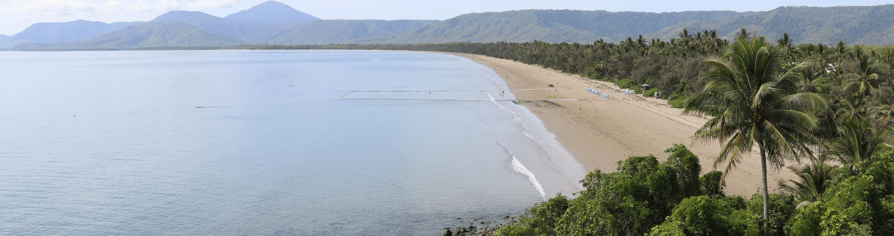
DOUGLAS Shire Council is taking a citizen science approach to measuring coastline changes by installing five CoastSnap phone cradles at key beachfront locations across the Shire.
The monitoring program encourages residents and visitors to participate by taking photos of precise locations and sharing the photo online.
Over time, the database of photos will record erosion and recovery cycles, helping Council understand why some beaches are more dynamic or resilient than others.
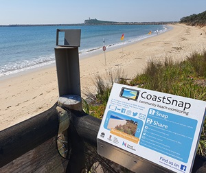
Phone Cradle at Stockton Beach, NSW
Photo: Michael Kinsela, DPIE
Douglas Shire Council Sustainability Officer Ada Pasanen said phone cradles will be installed at Wonga, Newell, Cooya, Four Mile and Cow Bay.
“With over 100kms of shoreline, our beaches are a valuable part of life in the Douglas Shire,” she said.
“Erosion and storm tide inundation are natural processes that shape the shoreline but when these changes impact our communities, they become coastal hazards.
“Monitoring changes is important so that the impacts of coastal hazards can be avoided, mitigated or managed through adaptation planning.
“Utilising phone cradles is an innovative way to harness the power of social media and capture a valuable record of the changing coastlines at our beaches.
“People are encouraged to place their smartphone into the cradle, take a photo of the beach and share it on with CoastSnap via social media or by using their application or web portal, which are currently under development.
“This data will later be merged into time-lapse videos and analysed using a series of algorithms,” she said.
Instructional signage will be installed with each cradle, highlighting the process of sharing images.
The development of a photo monitoring program delivers on the priority actions, as identified in Council’s Resilient Coast Strategic Plan, as part of the Coastal Hazard Adaptation Strategy.